Highlights:
- Approximately 15mm of rain and risk of thunderstorm
- Gale Wind Warning, increased wave action and possible erosion
- Possible minor flooding
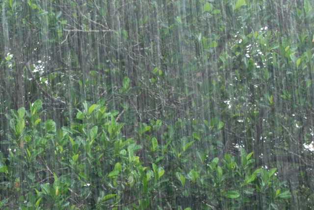
A low pressure system currently making its way through Ontario is anticipated to bring approximately 15mm of rain and a risk of thunderstorms this evening, continuing overnight into tomorrow. An additional 2-4mm of rain is forecasted for tomorrow. Recent dry conditions may afford some rainfall capacity in the soil, however high amounts of rainfall in a short period of time can lead to increased runoff and flash flooding, particularly in urban areas.
Given ongoing high water levels on the Great Lakes and Lake St. Clair, previously considered minimal amounts of rain have the ability to elevate water levels into natural floodplain areas, parks and farm fields. Soils may become saturated and could contribute to ponding, increased runoff into watercourses, and possible increased erosion and seepage issues.
Winds from a southwesterly direction of around 40km/h, gusting upwards of 85km/h, are anticipated Thursday evening. Winds from this direction have the potential to slow the flow of water out of the Sydenham River, causing backflow and elevated levels in Wallaceburg. Residents along the Lake St. Clair shoreline may also experience wind-driven high water levels and wave action, with a potential for erosion.
Winds are then forecasted to switch to a northwesterly direction Friday afternoon, with winds of 35km/h gusting up to 60km/h before subsiding Saturday morning. The Government of Canada has issued a Gale Warning for southern Lake Huron. The Lake Huron shoreline can anticipate sustained wind action and possible erosion, particularly the Old Lakeshore Road area of Brights Grove. Waves are anticipated to build to 2-3m Friday afternoon before residing to one and a half meters later that evening.
River banks are expected to be slippery, with possible erosion. Residents are reminded to avoid watercourses and flooded areas due to slippery banks and cold, swift moving water, as well as shorelines during high-wind and wave action events. Children and pets should be kept away from the water.
The Conservation Authority continues to monitor watershed conditions and will issue advisories to municipalities and media should flood issues arise.
Municipal emergency response staff and road superintendents should monitor local conditions closely.
This message will remain in effect until Saturday, March 21, 2020 unless otherwise updated.


