Highlights:
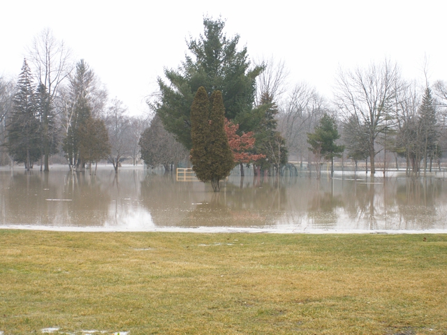
Water levels on the Sydenham River and all watercourses across the region will be on the rise. A rapidly moving system is forecast to bring 10 mm of precipitation over the next 12 hours. Temperatures have reached 10 degrees C today and remain above freezing until Tuesday morning. Snow monitoring data indicates approximately 15-25 mm of water in the existing snowpack. The snowpack will initially absorb much of the forecasted rain, but will become saturated with the additional rainfall resulting in significant runoff across the watershed over the next 24 hours.
While flooding is anticipated to be minor in nature, traditional floodplain areas may become inundated with water over the next few days. The Conservation Authority continues to monitor watershed conditions and will issue advisories should flood issues arise. Residents are reminded to avoid watercourses and flooded areas due to slippery banks, cold and swift moving water and deteriorating ice. Children and pets should be kept away from floodplain areas.
Municipal emergency response staff and road superintendents should monitor local conditions closely.
The St. Clair Region Conservation Authority will monitor the flood condition of the watersheds in the region and will provide warnings to municipal officials and media in the event conditions develop which could result in the potential of flooding.
This message will remain in effect until Wednesday February 06, 2019 unless otherwise updated.


