Highlights:
- 15 – 25mm rain this evening
- Water levels remain elevated
- Fast flowing water and slippery stream banks
- Potential road closures
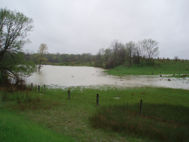
A risk of a thunderstorm is anticipated to bring 15 to 25 mm of rain starting this evening and into the early morning tomorrow. This precipitation has the potential to elevate water levels into natural floodplain areas, agricultural fields and parks, and further elevate already high levels in Wallaceburg. High amounts of rainfall in a short period of time can lead to increased runoff and flash flooding, particularly in urban areas.
Winds currently from a southerly direction changing to a westerly direction overnight will have the potential to slow the flow of water out of Wallaceburg and further contribute to high water levels and flooding. Soils already saturated from rain and high water levels could contribute to ponding, increased runoff into watercourses, and possible increased erosion and seepage issues.
River banks are expected to be slippery, with possible minor erosion. Residents are reminded to avoid watercourses and flooded areas due to slippery banks and cold, swift moving water. Children and pets should be kept away from the water.
The Conservation Authority will issue advisories to municipalities and media should flood issues arise. Municipal emergency response staff and road superintendents should monitor local conditions closely.
This message will remain in effect until Wednesday, June 26, 2019 unless otherwise updated.


