Highlights:
-
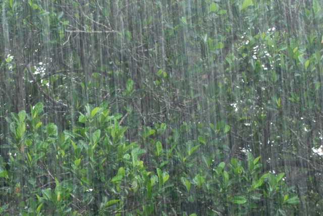
- Potential for 50-75 mm of rainfall Thursday evening into early Friday morning
- Strong winds up to 90 km
- Multiple road closures
- Water levels are anticipated to react more quickly with increased runoff
- Saturated soils, ponding, and flooding in floodplain areas
| Severe thunderstorms are incoming this evening into early Friday morning. Torrential rainfall producing local amounts of 50 to 75 mm over a few hours. The watershed received upwards of 100 mm in local areas during a storm on August 23. Localized flooding is occurring in low-lying areas, mostly in floodplain, agricultural and parkland areas.
Noted Road Closures from August 24:
River banks are expected to be slippery, with the possibility of minor erosion. Residents are reminded to avoid watercourses and flooded areas due to slippery banks and swift-moving water. Children and pets should be kept away from the water. The Conservation Authority continues to monitor watershed conditions and will issue advisories to municipalities and media should flood issues arise. Municipal emergency response staff and road superintendents should monitor local conditions closely. This message will remain in effect until Friday, August 25, 2023 at 4pm unless otherwise updated. |


