-
- Water levels are continuing to rise
- 60 – 70 mm of rain over the past two days
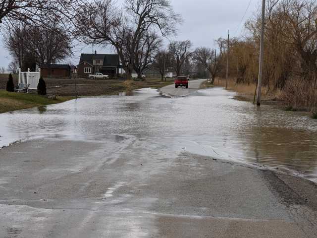
- Saturated soils, ponding, and flooding in floodplain areas
- Several roads impacted by flooding
Water levels across the watershed are continuing to rise and spill into natural floodplain areas after receiving upwards of 70 mm of rain over the past two days. Forecasts are calling for a reprieve in rainfall this evening and Sunday, with small amounts of rain in the forecast beginning Monday.
The water levels in the upper reaches of the Sydenham River are beginning to slow their rate of rise and are nearing their peak. Water levels will remain high over the coming 36 hours as the water moves downstream through the watershed towards Wallaceburg.
-
- Stanley Line between Kimball and Wabuno Road
- Pretty Road north of McCallum Line
- Waterworks Road north of Courtright Line
- Telfer Road between Courtright Line and Moore Line
The Conservation Authority continues to monitor watershed conditions and will issue advisories to municipalities and media should flood issues arise.
Municipal emergency response staff and road superintendents should monitor local conditions closely.
This message will remain in effect until Tuesday, April 4, 2023 at 12pm unless otherwise updated.


