• About
    • Mission / Vision Statement
    • Governance / Board of Directors
    • Board Meeting Packages
    • Area of Jurisdiction
    • Publications/Forms
    • Events
    • Tender Documents
    • Employment Opportunities
    • Accessibility
    • News & Blog
    • SCRCA Staff Directory
    • Service Disruptions
    • Contact Us
  • Permits & Planning
    • Introduction
    • Property Inquiry
    • Map Your Property
    • Regulations Permits
    • Drainage Act Project Review
    • Plan Input and Review
    • Policies and Guidelines
    • Fee Schedule
  • Water Management
    • Flood Notices
    • Flood Notice Types
    • W. Darcy McKeough Floodway
    • Low Water Response
    • Riverbank & Shoreline Protection Development
    • Erosion Control Projects
    • Great Lakes and Connecting Channels
  • Watershed Services
    • Tree Planting / Woodlot Services
    • Environmental Monitoring
    • Habitat Restoration Projects
    • Grants for Landowners
    • Invasive Species
  • Conservation Lands
  • Education
  • Foundation
    • About the SCRCF
    • Donate to our Foundation
    • Planned Giving
    • Memorial Forests
    • Sponsors
    • Land Donations
    • Scholarships
    • Green Meetings
  • Contact Us
St. Clair Region Conservation AuthoritySt. Clair Region Conservation Authority
Flood Status NORMALLow Water Status Level 1
  • About
    • Mission / Vision Statement
    • Governance / Board of Directors
    • Board Meeting Packages
    • Area of Jurisdiction
    • Publications/Forms
    • Events
    • Tender Documents
    • Employment Opportunities
    • Accessibility
    • News & Blog
    • SCRCA Staff Directory
    • Service Disruptions
    • Contact Us
  • Permits & Planning
    • Introduction
    • Property Inquiry
    • Map Your Property
    • Regulations Permits
    • Drainage Act Project Review
    • Plan Input and Review
    • Policies and Guidelines
    • Fee Schedule
  • Water Management
    • Flood Notices
    • Flood Notice Types
    • W. Darcy McKeough Floodway
    • Low Water Response
    • Riverbank & Shoreline Protection Development
    • Erosion Control Projects
    • Great Lakes and Connecting Channels
  • Watershed Services
    • Tree Planting / Woodlot Services
    • Environmental Monitoring
    • Habitat Restoration Projects
    • Grants for Landowners
    • Invasive Species
  • Conservation Lands
  • Education
  • Foundation
    • About the SCRCF
    • Donate to our Foundation
    • Planned Giving
    • Memorial Forests
    • Sponsors
    • Land Donations
    • Scholarships
    • Green Meetings
  • Contact Us

Lorne C. Henderson Conservation Area

Home Admission FeeLorne C. Henderson Conservation Area
Featured Image

PLEASE NOTE:

Vehicular access is restricted during the winter season (November – May) and washroom facilities are closed.

Reservations for the 2026 camping season will open online on Monday, January 12th, 2026, at 8:30 am.

Reserve a Campsite

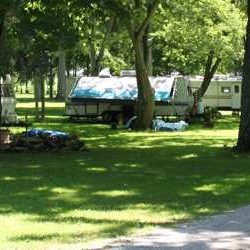
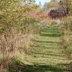
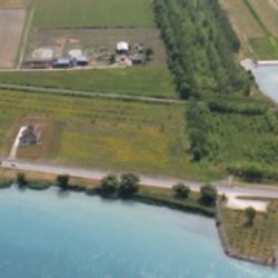
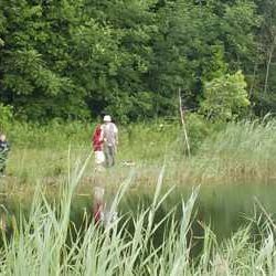
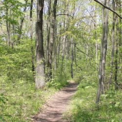
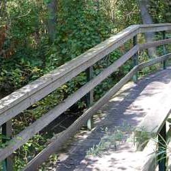
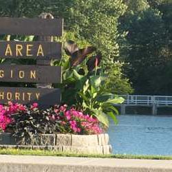
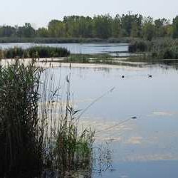
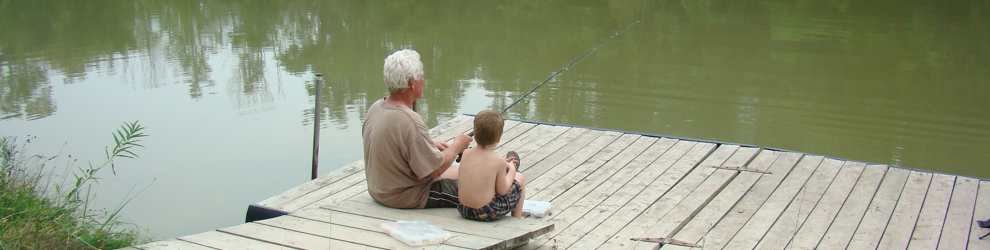
Lorne C. Henderson Conservation Area is a nature lover’s delight. This family-oriented campground is nestled among a series of wildlife ponds and nature trails. Amenities on the 135 ha (330 acre) site include nature trails, a 25 ft. x 50 ft. swimming pool, a modern washroom facility, and a mini-golf course. This Conservation Area offers both overnight and seasonal camping.  Most sites are serviced with hydro and water.  Radio-free unserviced sites are available.  Located minutes west of the Town of Petrolia, visitors can also enjoy local attractions including fine-dining restaurants and performing arts at the historic Victoria Playhouse.

Admission Fee Camping Dog Walking Outdoor Education Fishing Geocaching Hiking Lake River Reservoir Picnic Facilities Swimming Water Sports

Campground MapTrail MapPhoto GalleryService Disruptions

Address: 3653 Petrolia Line, Petrolia, Ontario

Phone: 519-882-2280 (in-season) 519-245-3710 (off-season)

Visit our Publications page for Camping Rules/Regulations/Policies/Forms/Fees
Explore these other Conservation Lands

About Us

The St. Clair Region Conservation Authority is located in southwestern Ontario and includes the Sydenham River watershed and smaller watersheds draining directly into southern Lake Huron, the St. Clair River, and northeastern Lake St. Clair.

The Conservation Authority implements programs to reduce the risk to life and property from flooding and erosion; water and land stewardship; forestry; wildlife habitat creation and outdoor recreation.

Partner Links

  • Conservation Ontario
  • Thames-Sydenham & Region Source Protection Area
  • Healthy Lake Huron
  • Sydenham River Website
  • St. Clair River Sediment Management Project
  • Friends of the St. Clair River
  • Forest Gene Conservation Association
  • Lake St. Clair Canadian Watershed Management Plan
  • Ontario Trillium Foundation

Connect with us!

  • St. Clair Region Conservation Authority
  • 205 Mill Pond Cres., Strathroy ON N7G3P9
  • 519-245-3710
  • 519-245-3348
  • stclair@scrca.on.ca

© 2026 · St. Clair Region Conservation Authority

  • Home
  • Accessibility
  • Privacy
  • Director Access
  • Foundation Access
  • WM
Prev Next