Highlights:
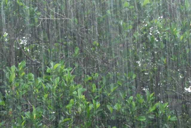
- 25 – 55 mm rain next 24 hours
- Strong winds
- Possible storm surge and potential flooding
High amounts of rainfall in a short period of time can lead to increased runoff and flash flooding, particularly in urban areas. This amount of rainfall has the potential to elevate water levels into natural floodplain areas, parks and farm fields. Soils are expected to be saturated from the rain and could contribute to ponding, increased runoff into watercourses, and possible increased erosion and seepage issues.
South/southwesterly winds over Lake St. Clair are forecasted to gust around 40 km/h today, turning westerly and increasing to 50 km/h late Friday morning before subsiding late Friday afternoon. Residents along this shoreline may experience wind-driven high water levels and wave action, with a potential for erosion. Winds from this direction may cause a backwater effect in the Wallaceburg area, slowing the flow of water out of the Sydenham River and contributing to elevated water levels.
River banks are expected to be slippery, with possible minor erosion. Residents are reminded to avoid watercourses and flooded areas due to slippery banks and cold, swift moving water. Children and pets should be kept away from the water.
The Conservation Authority continues to monitor watershed conditions and will issue advisories to municipalities and media should flood issues arise.
Municipal emergency response staff and road superintendents should monitor local conditions closely.
This message will remain in effect until Sunday, May 17, 2020, unless otherwise updated.


