Highlights:
- Water levels rising quickly across the watershed
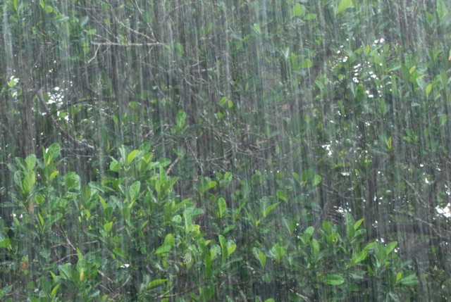
- Over 20 mm of rain received overnight into this morning
- 5 to 15 mm anticipated through today
- Fast flowing water and slippery stream banks
- Potential road closures
The following roads may be impacted by high water levels. These include:
- Waterworks Road between Courtright Line and Moore Line
- Stanley Line east of Kimball Road
- Pretty Road north of McCallum Line
Heavy precipitation overnight into this morning has resulted in quickly rising water levels and water flowing into natural floodplain areas, agricultural fields and parks. The chance of a thunderstorm today could bring an additional 5 to 15 mm of rain. Minor flooding in Wallaceburg is expected.
Meteorologists are forecasting an additional 20 to 25 mm later in the week, which may increase flooding in the area. High intensity rainfall is possible, especially during thunderstorms. High amounts of rainfall in a short period of time can lead to increased runoff and flash flooding, particularly in urban areas. Soils already saturated from previous rain events could contribute to ponding and increased runoff into watercourses.
River banks are expected to be slippery, with possible minor erosion. Residents are reminded to avoid watercourses and flooded areas due to slippery banks and cold, swift moving water. Children and pets should be kept away from the water.
The Conservation Authority continues to monitor watershed conditions and will issue advisories to municipalities and media should flood issues arise. Municipal emergency response staff and road superintendents should monitor local conditions closely.
This message will remain in effect until Sunday, June 16, 2019 unless otherwise updated.


