Highlights:
- Water levels on the rise
- River ice deteriorating rapidly
- Slippery banks, cold and swift moving water
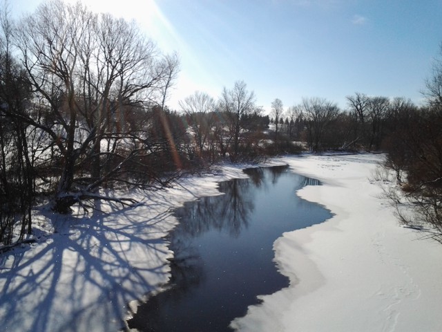
Water levels on the Sydenham River and all watercourses across the region are on the rise as a result of above normal temperatures and snow melt. With no additional precipitation in the forecast, Water levels are expected to be contained within the river banks at upper reaches of the watershed. Temperatures are forecast to remain well above normal reaching daytime highs of 10º C on Monday. The existing snowpack is estimated to be equivalent to near 20 mm of water. Water levels are expected rise throughout the weekend and may exceed the top of bank at a few locations to create localized flooding. Floodplain areas are expected to be inundated for the next few days.
Ice conditions are expected to continue to deteriorate through the week. Increased flows and warmer water has reduced ice thickness and ice cover. It is no longer safe to access the river for recreational activities.
Municipal emergency response staff and road superintendents should monitor local conditions closely.
Residents are reminded to avoid watercourses and flooded areas due to slippery banks, cold and swift moving water and deteriorating ice. Parents in particular are urged to keep their children away from floodplain areas during this March break.
The St. Clair Region Conservation Authority will monitor the flood condition of the watersheds in the region and will provide warnings to municipal officials and media in the event conditions develop which could result in the potential of flooding.
This message will remain in effect until Wednesday March 18th 2014 unless otherwise updated.


