Highlights:
- 50 to 70 mm of Precipitation for today
- River levels expected to rise
- Potentially fast flowing water and slippery stream bank
Current:
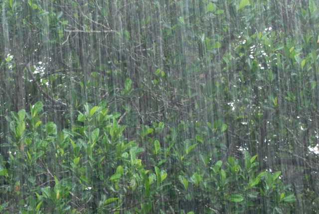
Water levels on the Sydenham River and its tributaries continue to rise quickly as a result of ongoing precipitation. Additional periods of thunderstorm activity have also produced significant localized downpours in some areas. Many rural areas including fields and floodplains have become saturated resulting in more immediate run off into rivers and streams rapidly raising levels unexpectedly.
Short Term:
The precipitation forecast for this evening call for accumulations between 15 mm and 20 mm and water levels are expected to rise correspondingly over the next few days with potentially fast moving flows within watercourses. Levels are anticipated to remain high into the weekend. Drains and smaller watercourses in upstream areas may also experience localized flooding in some areas especially during rain events.
Municipal officials and road superintendents should monitor local conditions.
Municipal emergency response staff and road superintendents should monitor local conditions closely.
Residents are reminded to avoid watercourses and potentially flooded areas due to slippery banks, cold and swift moving water. Parents in particular are urged to keep their children away from floodplain areas.
The St. Clair Region Conservation Authority will monitor the flood condition of the watersheds in the region and will provide warnings to municipal officials and media in the event conditions develop which could result in the potential of flooding.
This message will remain in effect until Thursday September 11th 2014 unless otherwise updated.


